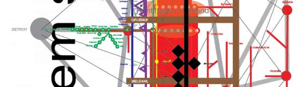
The Ohio River is one of the largest rivers in the United States. It draws its water from most of the eastern United States. It is bounded on the north by the Great Lakes watershed, on the east by the Mid-Atlantic watershed, on the south by the South Atlantic Gulf watershed, and on the west by the upper and lower Mississippi watersheds. It is the largest tributary of the Mississippi River, which drains the center part of the North American continent. Where it joins the Mississippi, the Ohio is the larger river. Water from the Ohio, and the chemicals and nutrients carried by that water contribute to the dead zone in the Gulf of Mexico. How can we think of the Ohio River? What kind of place is it? What kind of landscape is it? Take a look at the Ohio River Mainstem system map.
The Ohio River is formed in Pittsburgh, Pennsylvania by the confluence of the Allegheny and the Monongahela Rivers. The main stem of the Ohio River runs between the states of Ohio, West Virginia, Kentucky, Indiana, and Illinois. It joins the Mississippi River 981 miles later, at Cairo, IL. The U.S.Army Corps of Engineers manages the river and provides detailed maps of it. In addition to the Allegheny and the Monongahela, thirteen tributaries contribute to making the Ohio River: from east to west, the Beaver, the Muskingum, the Little Kanahwa, the Kanahwa, the Big Sandy, the Scioto, the Licking, the Great Miami, the Kentucky, the Green, the Wabash, the Cumberland, and the Tennessee.
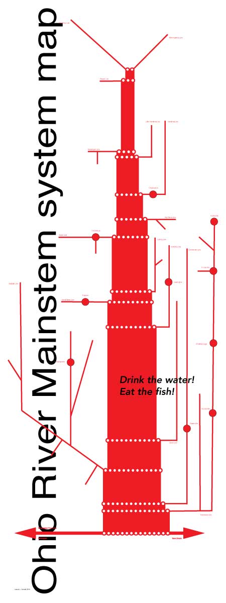
Tributaries
The Wabash is the largest on the north side, the Tennessee River (home of the TVA Authority) the largest on the south side.
Fourteen major cities and towns are located along its banks. Pittsburgh and Cincinnati, with populations of 2.3 and 2.1 million, are the largest, followed closely by Louisville with a population of 1.2 million. The Huntington/Ashland metropolitan area and Evansville each have populations in the 300,000 range. Wheeling at 147,000, Weirton/Steubenville at 124,000, Owensboro at 114,000, and Salem/East Liverpool at 107,000 have populations in the hundred thousand range. Finally, Paducah (98,000), Parkersburg (92,000), Portsmouth (79,000) Marietta (61,000) and Point Pleasant (58,000) all contain more than 50,000 people.

Cities
A different set of towns was important when Lewis & Clark floated down the Ohio in 1803 on their journey of exploration of the western United States.
How can we conceptualize the Ohio River? Here we treat it as a subway system. It is a system that transports many different kinds of people and materials. Water for drinking and for industrial uses is one. Sewage is another. Coal is a third. Two separate but related systems intersect the Ohio River Mainstem system. One is the First Peoples System created by the people who lived on the Ohio River and its tributaries before people from Europe and Africa reached North America in the 1500’s. A second system is that created by the United States in the 1950’s, the car, truck, and bus system.
