Skip to primary content

Ohio River Mainstem system map

Drink the water! Eat the fish!

Ohio River Mainstem system map

Main menu

  • Home
  • * The Ohio River
    • The Ohio River watershed
  • ** The Subway Map
  • Line: Army Corps of Engineers line
  • Line: Coal line
  • Line: Lewis and Clark line
  • Line: Sewer line
  • Line: Water line
  • System: First Peoples System
  • System: Truck car bus system
  • W Blog posts
  • X Sources of information
  • Z Contact

Post navigation

← Previous Next →

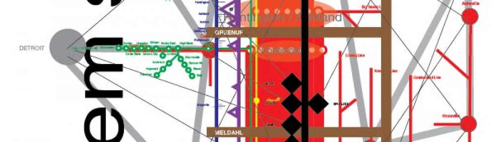
Altered watershed map

Image

Posted on February 18, 2014 by cartographiclandscapes

Altered watershed map

This is an altered map of the Ohio River watershed

Share this:

  • Click to share on X (Opens in new window) X
  • Click to share on Facebook (Opens in new window) Facebook
  • Click to share on Pinterest (Opens in new window) Pinterest
  • Click to email a link to a friend (Opens in new window) Email
  • More
  • Click to share on LinkedIn (Opens in new window) LinkedIn
  • Click to share on Reddit (Opens in new window) Reddit
  • Click to share on Pocket (Opens in new window) Pocket
  • Click to share on Tumblr (Opens in new window) Tumblr
Like Loading...

Related

This entry was posted in Uncategorized and tagged cartography, Ohio River, watershed by cartographiclandscapes. Bookmark the permalink.

Leave a comment Cancel reply

Blog at WordPress.com.
  • Comment
  • Reblog
  • Subscribe Subscribed
    • Ohio River Mainstem system map
    • Already have a WordPress.com account? Log in now.
    • Ohio River Mainstem system map
    • Subscribe Subscribed
    • Sign up
    • Log in
    • Copy shortlink
    • Report this content
    • View post in Reader
    • Manage subscriptions
    • Collapse this bar
%d