Conflict between commercial and recreational fishermen on the Ohio River.
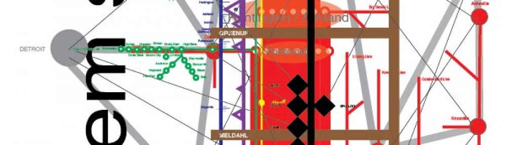
Ohio River Mainstem system map
Drink the water! Eat the fish!
Conflict between commercial and recreational fishermen on the Ohio River.
